Conservation Area Appraisals - Overview


Conservation Area Appraisals - Overview
In the last few years we have prepared more than 50 conservation area appraisals and management plans. They range from small rural settlements, through towns to some of the England’s most historic city centres, and address the full range of issues confronting these places in a time of rapid development pressures and the need to address the Climate Emergency. Clarity of presentation and the use of GIS mapping is central to the production of documents that are easy to use and focused on the needs of development management.
For Craven District Council, we appraised 16 existing and three proposed conservation areas for rural villages facing significant development pressure as part of the Local Plan evidence base. The size of this project was measured not just in the number of reports but in the scale of the magnificent landscape. This required a novel approach to assessing the context of historic settlements, and we developed a new methodology for analysing the contribution of open space to the significance of conservation areas.
This approach is now endorsed by Historic England in its guidance on conservation area appraisals, and we have subsequently employed in appraisals dozens of conservation areas in Sevenoaks, Hart, Kirklees and Selby Councils.
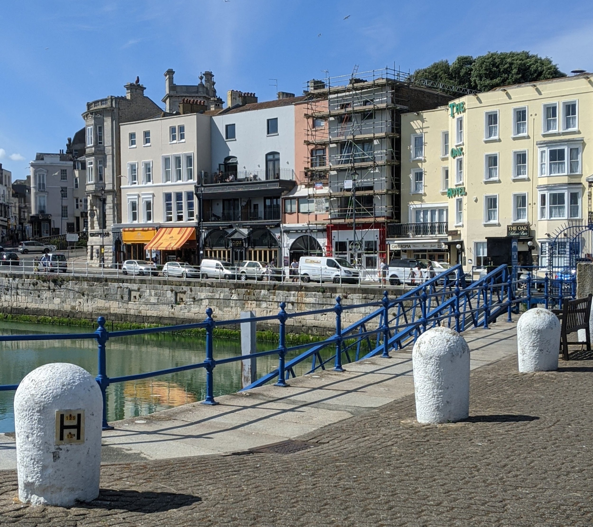
With urban centres, our appraisals for the historic city centres of Oxford and York, as well as Ramsgate and Gosport, have addressed the pressures not just from new development but also traffic and tourism, working with our urbanism colleagues on public realm enhancement. In these immensely complex places, balancing strategic guidance and fine grain analysis requires close cooperation with officers and stakeholders.